Cyclocane
( cyclocane is a CYCLOne and hurriCANE tracker by hayley )
English Español Deutsch Français 日本語
This is the final warning / advisory for this storm as it has weakened below warning levels and/or the storm system is no longer a tropical cyclone.
Marcus Current Status
Current Wind Speed 35 knots / MPH
Max Predicted Wind Speed 35 knots / MPH at

Marcus Land Hazards
Marcus Tracker
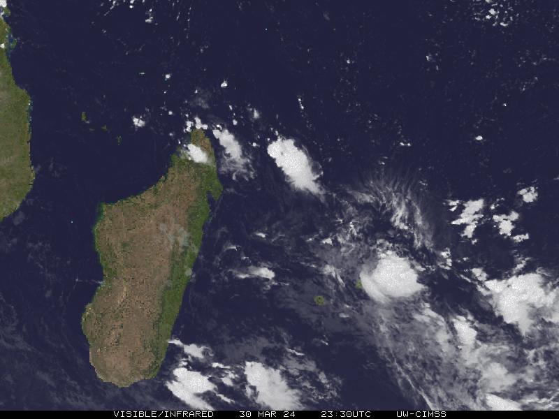
Marcus Satellite Loop
Marcus Alternate Tracking Map
Marcus Spaghetti Models
Spaghetti models for Marcus can be found here:
Marcus spaghetti models page »
Marcus Watches and Warnings
Ex-Tropical Cyclone Marcus Tropical Cyclone Update
Ex-Tropical Cyclone Marcus Public Advisory
IDW27600
TROPICAL CYCLONE TECHNICAL BULLETIN: AUSTRALIA - WESTERN REGION
Issued by PERTH TROPICAL CYCLONE WARNING CENTRE
at: 1228 UTC 24/03/2018
Name: Ex-Tropical Cyclone Marcus
Identifier: 20U
Data At: 1200 UTC
Latitude: 27.6S
Longitude: 107.5E
Location Accuracy: within 30 nm [55 km]
Movement Towards: south [170 deg]
Speed of Movement: 13 knots [24 km/h]
Maximum 10-Minute Wind: 35 knots [65 km/h]
Maximum 3-Second Wind Gust: 50 knots [95 km/h]
Central Pressure: 996 hPa
Radius of 34-knot winds NE quadrant:
Radius of 34-knot winds SE quadrant: 120 nm [220 km]
Radius of 34-knot winds SW quadrant:
Radius of 34-knot winds NW quadrant:
Radius of 48-knot winds NE quadrant:
Radius of 48-knot winds SE quadrant:
Radius of 48-knot winds SW quadrant:
Radius of 48-knot winds NW quadrant:
Radius of 64-knot winds:
Radius of Maximum Winds:
Dvorak Intensity Code: T2.5/3.0/W2.0/24HRS STT:W0.6/06HRS
Pressure of outermost isobar: 1004 hPa
Radius of outermost closed isobar: 120 nm [220 km]
FORECAST DATA
Date/Time    : Location    : Loc. Accuracy: Max Wind   : Central Pressure
[UTC]        : degrees     :      nm  [km]: knots[km/h]: hPa
+06:  24/1800: 28.5S 107.6E:     040 [080]:  035  [065]:  997
+12:  25/0000: 29.3S 107.7E:     055 [100]:  030  [055]:  998
+18:  25/0600: 30.1S 108.2E:     065 [125]:  025  [045]:  998
+24:  25/1200: 31.1S 109.3E:     080 [145]:  025  [045]:  999
+36:  26/0000:             :              :            :
+48:  26/1200:             :              :            :
+60:  27/0000:             :              :            :
+72:  27/1200:             :              :            :
+96:  28/1200:             :              :            :
+120: 29/1200:             :              :            :
REMARKS:
Ex-TC Marcus was located using animated IR imagery and microwave.

The system has encountered strong shear over the last 24 hours and the low level
centre is now fully exposed with no deep convection near the centre.

Dvorak: Shear Pattern of more than 1.25 to the DG gives a DT of 1.5. W+ trend
yields a MET of 3.5 and adj MET is 3.0. DT is clear cut however FT is
constrained to 2.5 to be within MET+/-1. CI maintained at 3.0. ADT has had raw
T# of 1.5 for over 6 hours with CI of 2.8 for CIMSS and 2.0 for NESDIS.
Intensity is set at 35 knots however with gales reduced to one quadrant the
system has been downgraded below tropical cyclone intensity.

The mid-level trough to the west of Marcus is now the dominant steering
mechanism. CIMMS shear is now 26 knots however shear of 40+ knots is along the
forecast track to the south of the system and it is now moving over cooler water
with environmental conditions consistent with rapid weakening.


Copyright Commonwealth of Australia
==
There will be no further bulletins for this system unless it reintensifies.
Public Advisory not available for this storm.
Ex-Tropical Cyclone Marcus Forecast Discussion
Forecast Discussion not available for this storm.
Marcus storm path from BOM - PERTH
| Time | Speed | Location | Status |
|---|---|---|---|
| 35 knots | -27.6, 107.5 | ||
| 35 knots | -28.5, 107.6 | ||
| 30 knots | -29.3, 107.7 | ||
| 25 knots | -30.1, 108.2 | ||
| 25 knots | -31.1, 109.3 |
site by Hayley Croft
Want to help support this site?
- Tell your friends about Cyclocane
- make a donation - totally optional but completely appreciated
Make a monthly donation or a one-time donation to help support ongoing costs with Cyclocane.
Play solitaire and track all of the cyclocane storms at the same time at Hurricane Solitaire.