Cyclocane
( cyclocane is a CYCLOne and hurriCANE tracker by hayley )



Hayley here - Do you like lofi music whatever music Hayley put on and terrifyingly loud computer voices? Then stop by the 24/7 ish severe weather live stream!
* stats delayed and were probably not accurate to begin with
English Español Deutsch Français 日本語
This storm is unnamed. If the information appears to be out of date, its name may have changed, so visit the main page for the latest information.
FIVE Current Status
Current Wind Speed 30 knots / 35 MPH
Max Predicted Wind Speed 50 knots / 60 MPH at
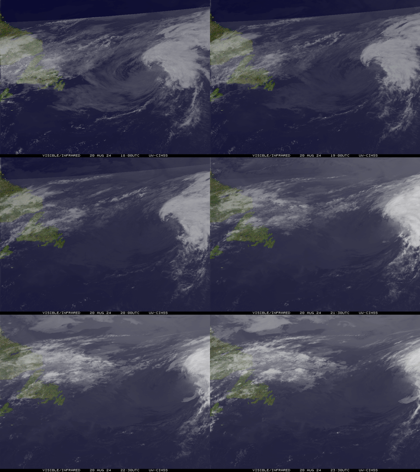
Current Watches/Warnings / Radar / Satellite
current US watches/warnings

live tornado/thunderstorm tracker - tornadohq
future radar imagery - my future radar

future radar imagery
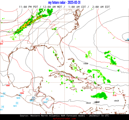
(above image is an example of the Western North Atlantic page - see Atlantic future radar page for a full set of images)
If a tropical storm or hurricane is threatening land, you can check my future radar for an idea of what radar might look like as the storm approaches.
FIVE Land Hazards
NWS Local Hurricane Statements
- No warnings
- WIND - Tropical storm conditions are expected to reach the coast within the warning area by Tuesday morning, making outside preparations difficult or dangerous.
- STORM SURGE - The combination of storm surge and tide will cause normally dry areas near the coast to be flooded by rising waters moving inland from the shoreline. The water could reach the following heights above ground somewhere in the indicated areas if the peak surge occurs at the time of high tide...
- RAINFALL - Tropical Depression Five is expected to produce rainfall totals of 3 to 6 inches with maximum totals of 9 inches for parts of the Upper Texas Coast inland through east-central Texas, with potential for 2 to 3 inches in far Southwest Louisiana. This rainfall is likely to produce flash flooding, especially in low-lying and urban areas. River flooding may also be possible.
FIVE Tracker
FIVE Satellite Loop
FIVE Alternate Tracking Map
FIVE Spaghetti Models
Spaghetti models for FIVE can be found here:
FIVE Watches and Warnings

Tropical Depression FIVE Tropical Cyclone Update
Tropical Depression FIVE Public Advisory
000
WTNT35 KNHC 312053
TCPAT5

BULLETIN
Tropical Depression Five Advisory Number   2
NWS National Hurricane Center Miami FL       AL052026
400 PM CDT Mon Aug 31 2026

...STORM SURGE WATCH ISSUED FOR A PORTION OF THE NORTHWESTERN
GULF COAST...
...TROPICAL STORM WARNING EXTENDED EASTWARD ALONG THE COAST OF
SOUTHWESTERN LOUISIANA...


SUMMARY OF 400 PM CDT...2100 UTC...INFORMATION
----------------------------------------------
LOCATION...28.2N 91.5W
ABOUT 105 MI...170 KM S OF MORGAN CITY LOUISIANA
ABOUT 185 MI...300 KM SE OF PORT ARTHUR TEXAS
MAXIMUM SUSTAINED WINDS...35 MPH...55 KM/H
PRESENT MOVEMENT...WNW OR 300 DEGREES AT 6 MPH...9 KM/H
MINIMUM CENTRAL PRESSURE...1011 MB...29.86 INCHES


WATCHES AND WARNINGS
--------------------
CHANGES WITH THIS ADVISORY:

The Tropical Storm Warning has been extended eastward to the
Vermilion/Iberia Parish Line in Louisiana.

A Storm Surge Watch has been issued for the U.S. Gulf Coast from
High Island, Texas, to the Vermilion/Cameron Parish Line, Louisiana.

SUMMARY OF WATCHES AND WARNINGS IN EFFECT:

A Tropical Storm Warning is in effect for...
* Port Bolivar to the Vermilion/Iberia Parish Line

A Storm Surge Watch is in effect for...
* High Island to the Vermilion/Cameron Parish Line

A Tropical Storm Warning means that tropical storm conditions are
expected somewhere within the warning area, in this case within the
next 24 hours or so.

A Storm Surge Watch means there is a possibility of life-
threatening inundation, from rising water moving inland from the
coastline, in the indicated locations during the next 48 hours.
For a depiction of areas at risk, please see the National Weather
Service Storm Surge Watch/Warning Graphic, available at
hurricanes.gov.

For storm information specific to your area, including possible
inland watches and warnings, please monitor products issued by your
local National Weather Service forecast office.


DISCUSSION AND OUTLOOK
----------------------
At 400 PM CDT (2100 UTC), the center of Tropical Depression Five was
located near latitude 28.2 North, longitude 91.5 West. The
depression is moving toward the west-northwest near 6 mph (9 km/h).
A west-northwestward to northwestward motion is forecast during the
next couple of days. On the forecast track, the center of the system
is predicted to reach the northwestern Gulf Coast within the warning
area on Tuesday and move inland over southeast Texas on Tuesday
night.

Maximum sustained winds are near 35 mph (55 km/h) with higher gusts.
Strengthening is expected, and the depression is likely to become a
tropical storm this evening.

The estimated minimum central pressure is 1011 mb (29.86 inches).


HAZARDS AFFECTING LAND
----------------------
Key messages for Tropical Depression Five can be found in the
Tropical Cyclone Discussion under AWIPS header MIATCDAT5 and WMO
header WTNT45 KNHC.

WIND: Tropical storm conditions are expected to reach the coast
within the warning area by Tuesday morning, making outside
preparations difficult or dangerous.

STORM SURGE: The combination of storm surge and tide will cause
normally dry areas near the coast to be flooded by rising waters
moving inland from the shoreline. The water could reach the
following heights above ground somewhere in the indicated areas if
the peak surge occurs at the time of high tide...

High Island, TX to Vermilion/Cameron Parish Line, LA...2-4 ft
Vermilion/Cameron Parish Line, LA to Morgan City, LA...1-3 ft

The deepest water will occur along the immediate coast near and to
the right of the center. Surge-related flooding depends on the
relative timing of the surge and the tidal cycle, and can vary
greatly over short distances. For information specific to your
area, please see products issued by your local National Weather
Service forecast office.

For a complete depiction of areas at risk of storm surge inundation,
please see the National Weather Service Peak Storm Surge Graphic,
available at hurricanes.gov/graphics_at5.shtml?peakSurge.

RAINFALL: Tropical Depression Five is expected to produce rainfall
totals of 3 to 6 inches with maximum totals of 9 inches for parts of
the Upper Texas Coast inland through east-central Texas, with
potential for 2 to 3 inches in far Southwest Louisiana. This
rainfall is likely to produce flash flooding, especially in
low-lying and urban areas. River flooding may also be possible.

For a complete depiction of forecast rainfall associated with TD
Five, please see the National Weather Service Storm Total Rainfall
Graphic available at hurricanes.gov/graphics_at5.shtml?rainqpf and
the Flash Flood Risk graphic at
hurricanes.gov/graphics_at5.shtml?ero.


NEXT ADVISORY
-------------
Next intermediate advisory at 700 PM CDT.
Next complete advisory at 1000 PM CDT.

$$
Forecaster Reinhart
Public Advisory not available for this storm.
Tropical Depression FIVE Forecast Discussion
000
WTNT45 KNHC 312054
TCDAT5

Tropical Depression Five Discussion Number   2
NWS National Hurricane Center Miami FL       AL052026
400 PM CDT Mon Aug 31 2026

The Air Force Hurricane Hunter aircraft data through early this
afternoon showed the low-level circulation of this system gradually
becoming better defined, and it was sufficient to designate it as
Tropical Depression Five for the 18 UTC intermediate advisory. This
is consistent with the improved radar and satellite presentation of
the system, with a prominent curved band now evident to the south of
the center. The aircraft measured peak 850-mb flight-level winds of
38 kt earlier today, and TAFB provided a T2.0/30 kt Dvorak estimate
at 18 UTC. These data support a 30-kt intensity for this advisory.
Another Air Force Hurricane Hunter mission is scheduled to
investigate the system tonight.

The center of the depression lies to the north and east of prior
estimates based on the aircraft data and recent surface
observations. A low-level ridge over the southeastern United States
is steering the system toward the west-northwest (300/5 kt), and
this general motion should continue through the next couple of days.
The system is expected to move onshore along the northwestern Gulf
Coast within the warning area on Tuesday, with the updated 24-h
forecast point just offshore. There were no significant changes to
the track guidance this cycle, and the updated NHC forecast was
adjusted slightly north of the previous prediction mainly due to the
repositioning of the center.

The tropical cyclone is fairly compact and has a small radius of
maximum wind. Although it only has about a day over the very warm
Gulf waters, strengthening is expected within a generally low shear
environment. Since the small size of the system makes it more
susceptible to quicker intensity changes, the NHC intensity forecast
has been raised and now lies above almost all of the intensity
guidance, including HCCA and IVCN. The legacy hurricane regional
models (HWRF/HMON) show even more strengthening than is forecast
here. While this does not appear to be the most likely scenario,
interests in the warning area are reminded to closely monitor the
latest forecast updates.


Key Messages:

1. The system is expected to bring tropical storm conditions to
portions of the Upper Texas and southwestern Louisiana coasts on
Tuesday. A Tropical Storm Warning is in effect from Port Bolivar,
Texas, to the Vermilion/Iberia Parish Line, Louisiana.

2. Heavy rain will impact parts of the Upper Texas coast through
east-central Texas into far Southwest Louisiana Tuesday and
Wednesday as the system tracks inland. Flash flooding is likely
across this region, especially in urban areas. River flooding may
also be possible.

3. A Storm Surge Watch has been issued from High Island, Texas, to
the Vermilion/Cameron Parish Line, Louisiana. Peak values of up to
4 feet above ground level are possible within the watch area.


FORECAST POSITIONS AND MAX WINDS

INIT  31/2100Z 28.2N  91.5W   30 KT  35 MPH
 12H  01/0600Z 28.8N  92.4W   40 KT  45 MPH
 24H  01/1800Z 29.6N  93.8W   50 KT  60 MPH
 36H  02/0600Z 30.6N  95.2W   30 KT  35 MPH...INLAND
 48H  02/1800Z 31.6N  96.1W   20 KT  25 MPH...POST-TROP/INLAND
 60H  03/0600Z...DISSIPATED

$$
Forecaster Reinhart
FIVE storm path from NHC
| Time | Speed | Location | Status |
|---|---|---|---|
| 30 knots | 28.2, -91.5 | ||
| 40 knots | 28.8, -92.4 | ||
| 50 knots | 29.6, -93.8 | ||
| 30 knots | 30.6, -95.2 | INLAND | |
| 20 knots | 31.6, -96.1 | translation missing: en.POST-TROP/INLAND | |
| 0 knots | DISSIPATED |
site by Hayley Croft
Hi, I'm Hayley. Did you know that I run this site out of my own pocket? So if you'd like to help support this site:
- Tell your friends about Cyclocane
- Buy something through this Amazon Cyclocane link
- make a donation - totally optional but completely appreciated
Make a monthly donation or a one-time donation to help support ongoing costs with Cyclocane.
Play solitaire and track all of the cyclocane storms at the same time at Hurricane Solitaire.